-
 Lan Dam authored
GPS Dialog
How to open
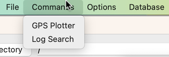
The GPS dialog can be opened by using the Commands > GPS Plotter option in the menu bar.
User interface
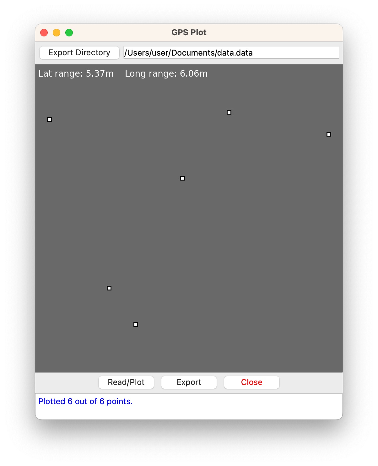
Export directory selector
Composed of a button to select the directory to export the GPS data to and a textbox displaying that directory.
GPS plot window
The window where the GPS points extracted from a data set will be plotted. The style of the plot depends on the background color chosen in the main window.
Button bar
Contains three buttons:
- Read/Plot: Read the GPS data and then plot it.
- Export: Export the GPS points into a tab-separated file.
- Close: Close the GPS dialog.
Notification/info box
The box to display notifications or the information of a GPS data poin,
How to use
Plotting GPS data of a data set
Once a data set has been loaded, its GPS data can be plotted by clicking the Read/Plot button.
Each GPS data point is plotted as a small rectangle.
Once the plotting finishes, a message is displayed in the notification with the number of data points plotted.
Furthermore, the range of latitude and longitude of the GPS data is displayed on the plot.
Displaying a GPS data point's information
When the GPS data finished plotting, clicking on a point on the plot will display its data in the notification box.
Exporting the GPS data
By clicking the Export button, the GPS data will be exported to a file. The
name of the exported file is the name of the data set suffixed with
.gps.dat. By default, the file will be in the same directory as the data
set. A sample directory structure is given below.
Data/
├─ data.data/
└─ data.data.gps.dat
The directory the export file is stored in can be changed by clicking on the Export Directory button.